UAS / Drone Services
Aerial imagery, remote sensing, and survey support in polar regions
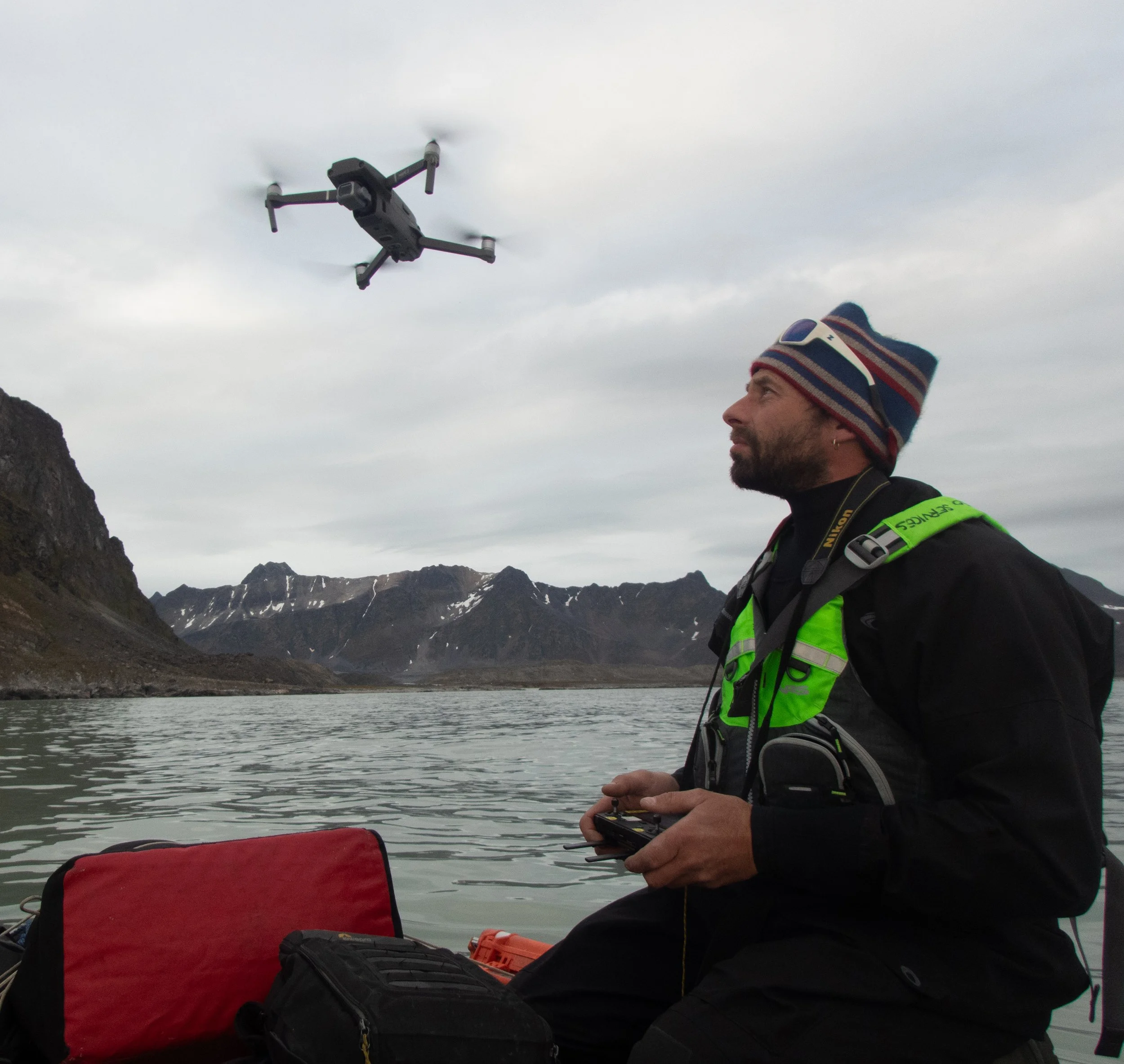
Kolibri Geo Services has been working with remote aerial systems since long before “drones” became common. Our first aerial photo was taken in 1995, and today we continue that legacy with modern platforms adapted for Arctic operations. Whether you’re documenting landscapes, monitoring environmental change, or collecting spatial data, we offer reliable drone services designed for polar conditions.

-

Aerial Imaging & Surveying
We provide high-resolution aerial photos and video for scientific research, mapping, and media. Our drones are field-adapted for cold-weather operations and capable of flying multiple missions per day. We also assist with flight planning and data delivery tailored to your project needs.
-
Licensed Operations
Kolibri Geo Services holds valid drone operation licences for categories A1, A2, and A3, allowing us to operate safely and legally in a variety of settings. We comply with European and Norwegian aviation regulations, and follow strict safety routines to ensure reliable missions in remote areas.
-
Equipment & Field Setup
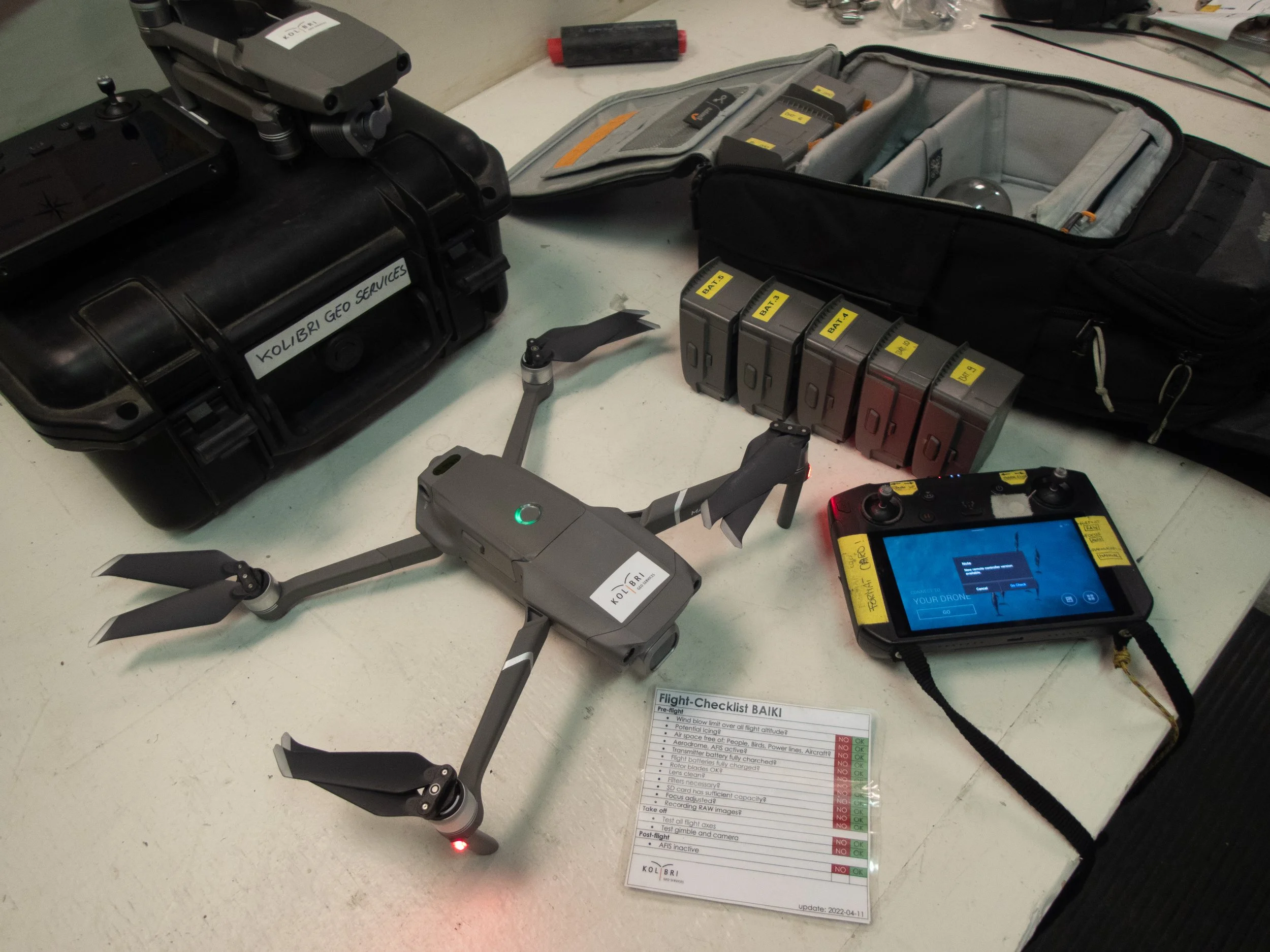
We currently operate two DJI Mavic 2 Pro platforms, with an upcoming upgrade to DJI Mavic 4 Pro. Our kits include backup systems, field chargers, and other modifications for extended remote use. We can also support custom payloads or integration into larger research workflows.
-

Aerial Image Archive
Our searchable image archive contains more than 45,000 aerial photographs and video files, captured across Svalbard and other Arctic locations over the past two decades. These are available for use in research, environmental monitoring, and creative projects.
